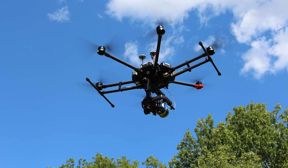
Analytik has published a new video that provides an informative introduction to the collection and processing of information from across different parts of the electromagnetic spectrum using an aerial vehicle, such as a drone.

Airborne Imaging, or Remote Sensing, using hyperspectral imaging sensors enables collection of valuable spectral information from a large area (such as looking at disease spread in a forest) as a set of images. The processing of this data allows the identification of objects and materials through their individual characteristics or “spectral fingerprint”.
德国是一个完全集成的主要提供者d, cutting-edge, out of the box airborne hyperspectral imaging solutions. The fully data-tested solutions available from Analytik combine a hyperspectral imaging sensor and choice of GPS/IMU mounted on a high-performance market-leading UAV, with LiDAR and a stabilising gimbal if needed. With powerful post-processing software capability, fully data-tested solutions and extensive training support available, you won’t find a more complete integrated airborne hyperspectral imaging solution.
To watch the video please visithttps://youtu.be/V9CoBkcwe6k. For further information on airborne hyperspectral imaging solutions please contact Analytik Ltd. on +44(0)1954 232 776 or email[email protected].